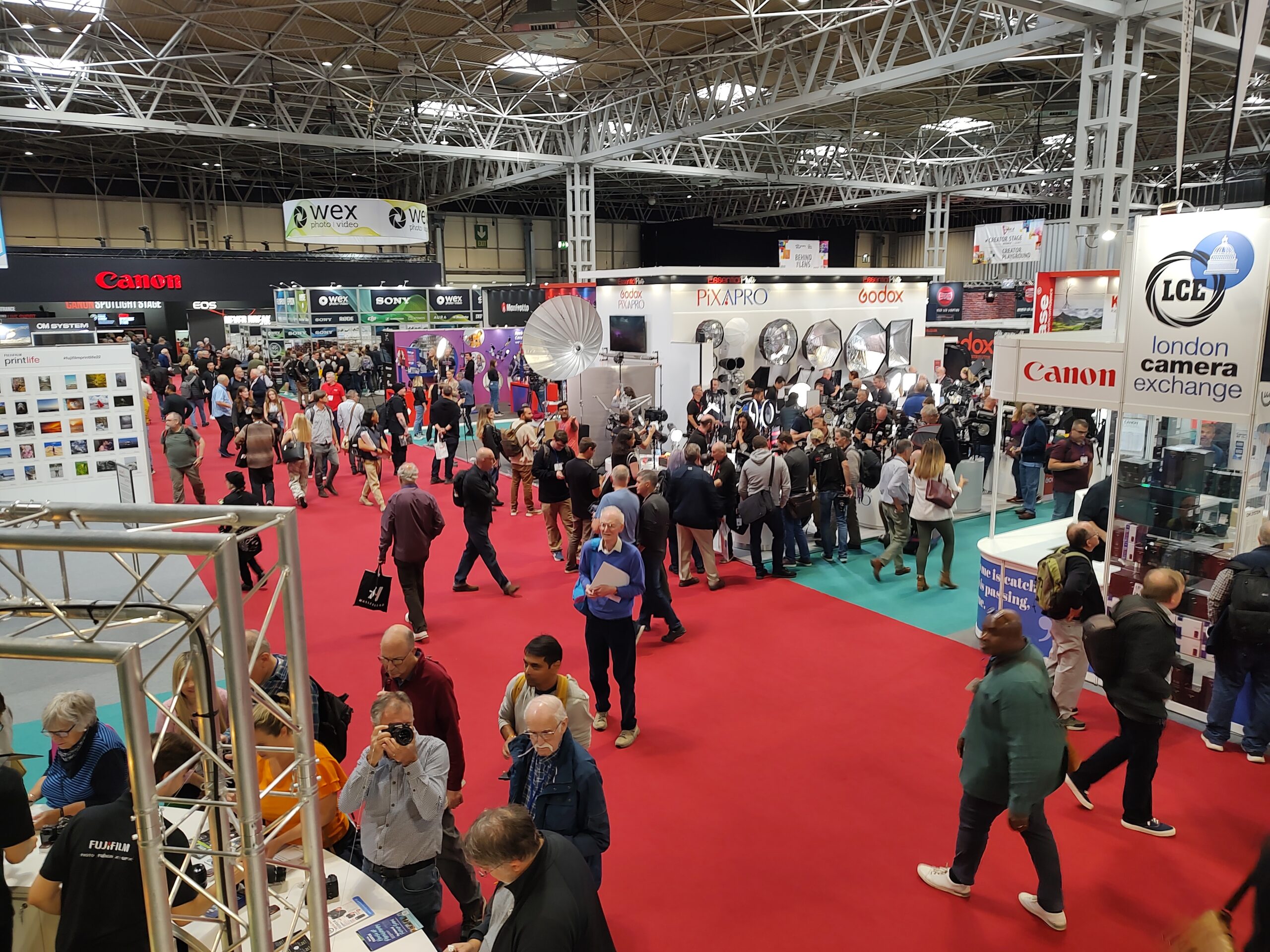
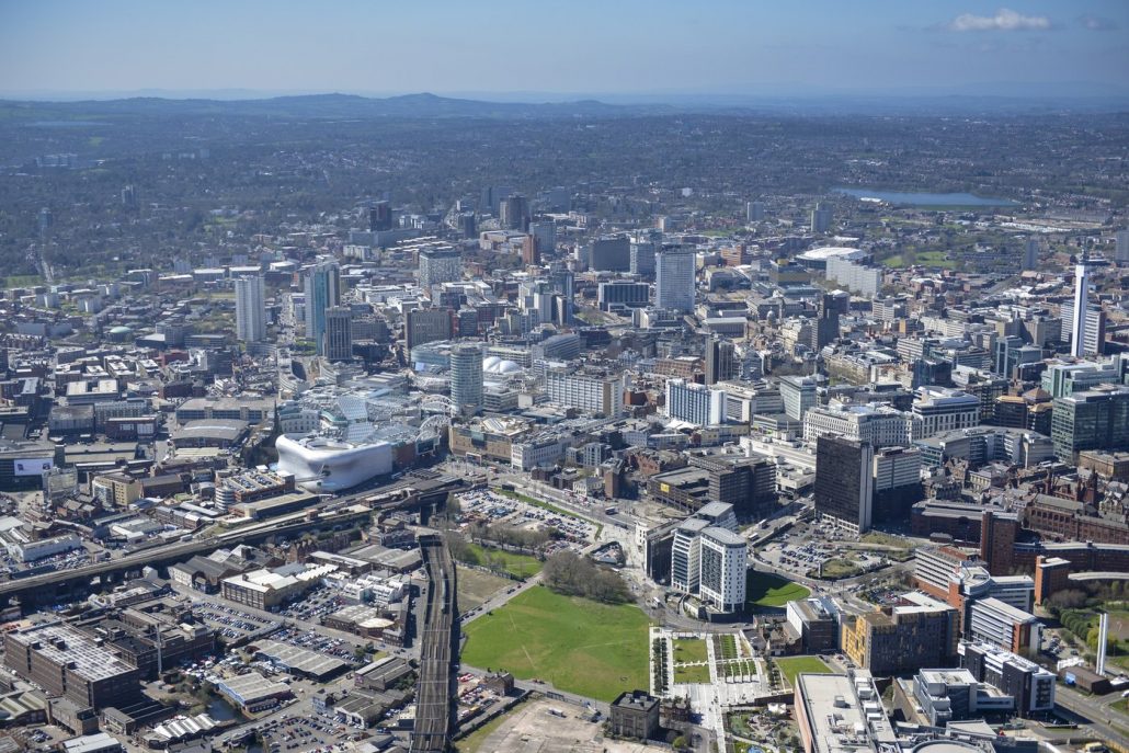
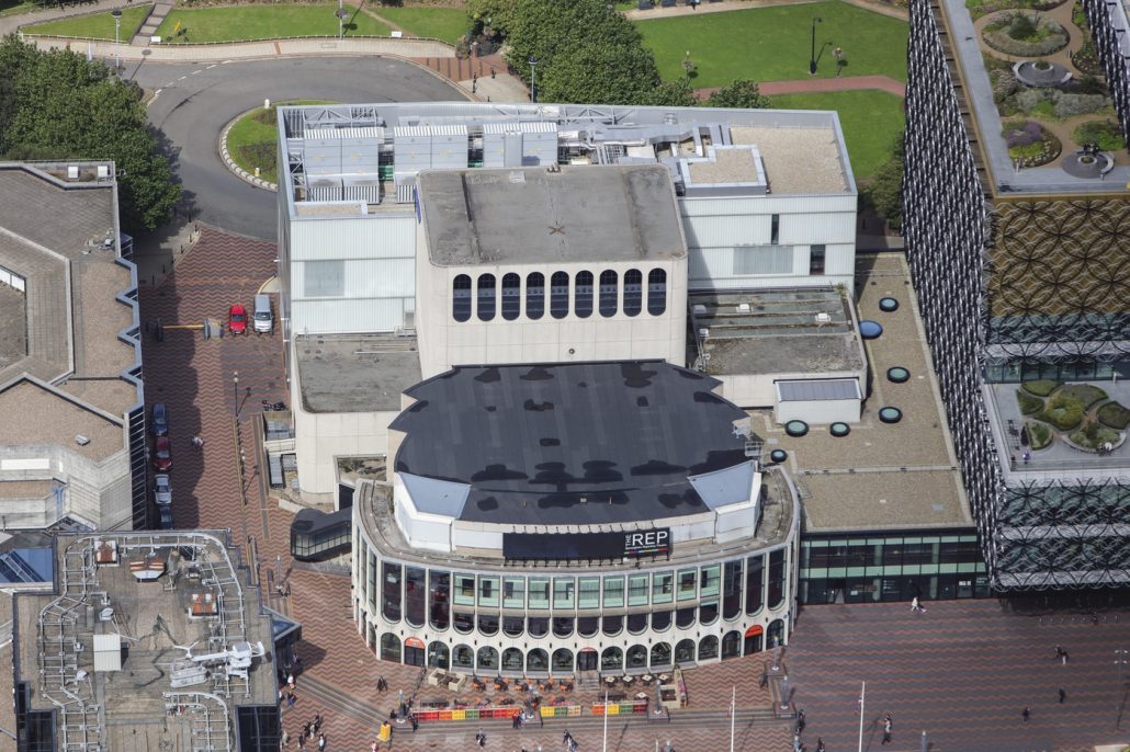
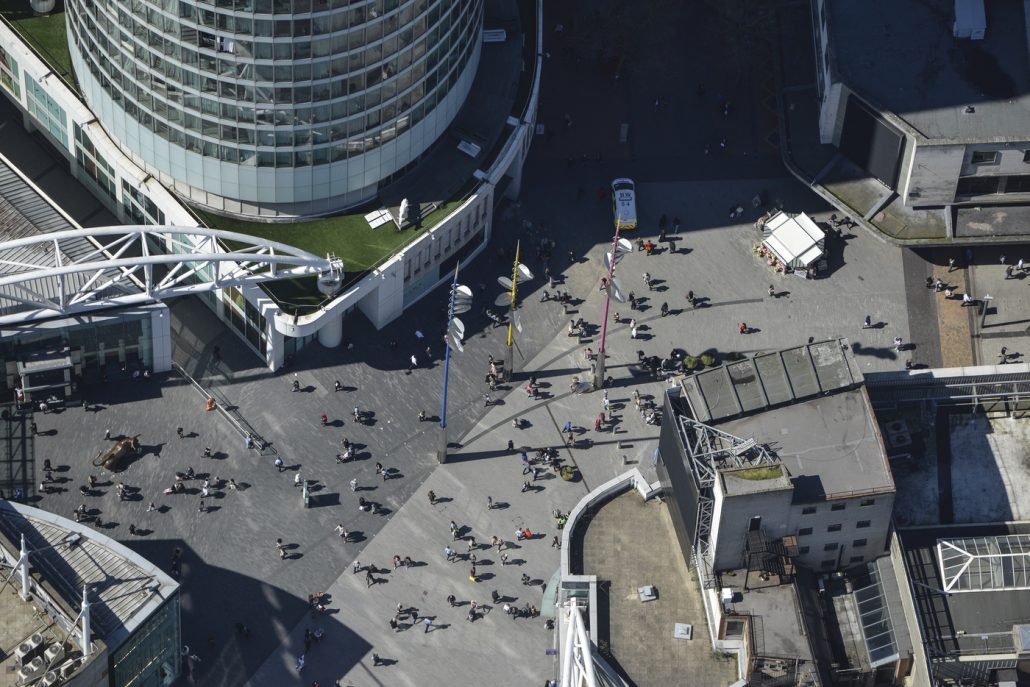
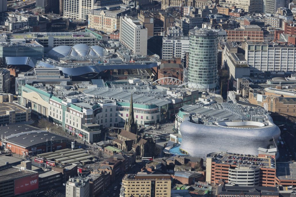
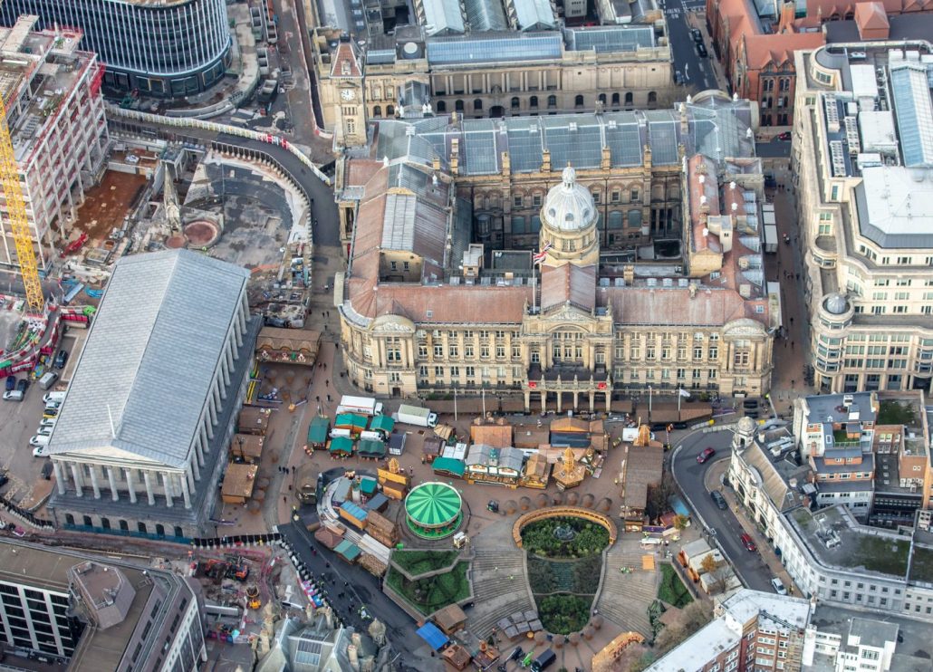
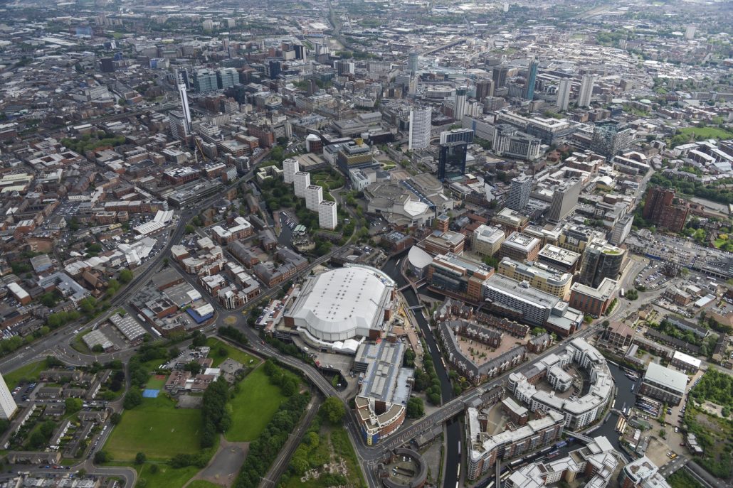
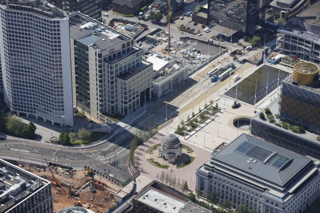
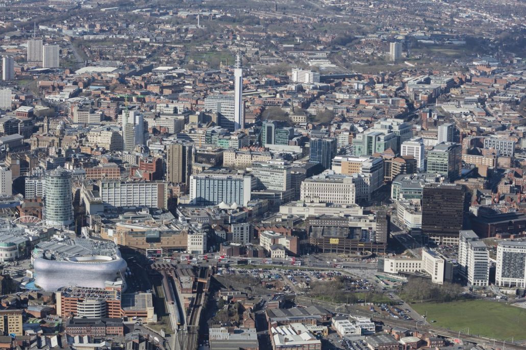
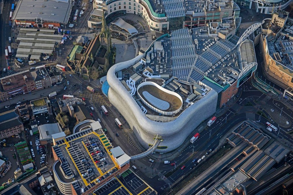
For more than 30 years, Commission Air has been the leading supplier of Aerial Photography in Birmingham. Capturing monumental developments over the years such as Paradise Circus, Snowhill, University of Birmingham and many more. With thousands of satisfied customers in the public and private sectors, our detailed aerial images provide valuable information regarding their projects.
It is definitely an exciting time for Birmingham with the Commonwealth games in 2022. We have seen the city undergo transformational changes aiming to be an enterprising, innovative and green city by 2031.
![]()
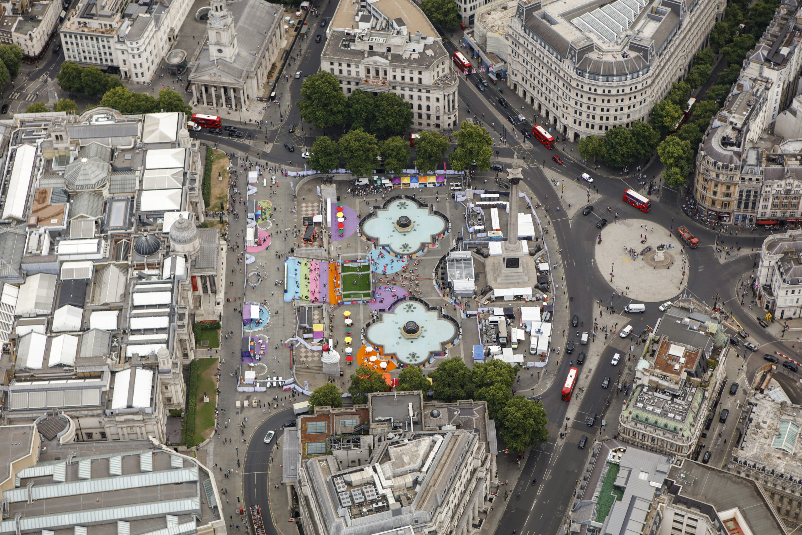
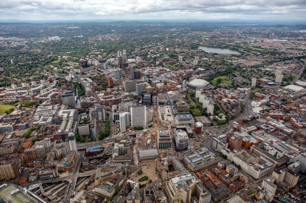
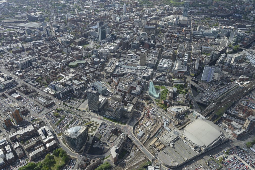
We have been delighted by the aerial photographs and time lapse photography that Commission Air have delivered for Tyseley Energy Park over the past 24 months.
Tyseley Energy Park
![]()
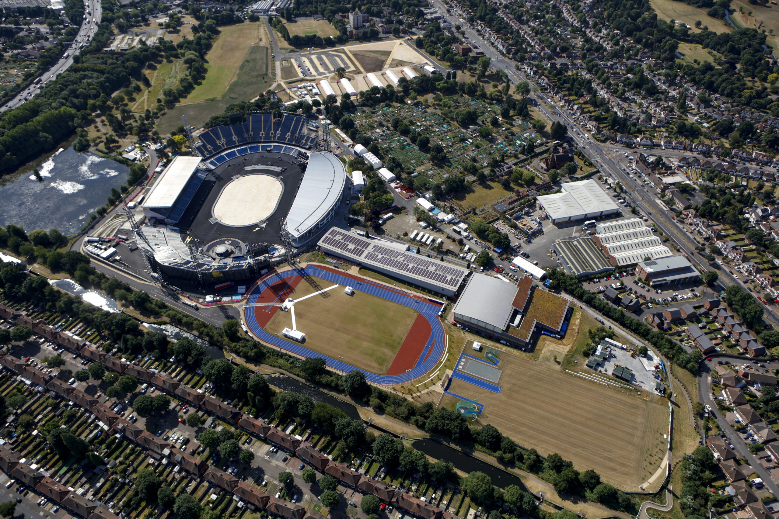
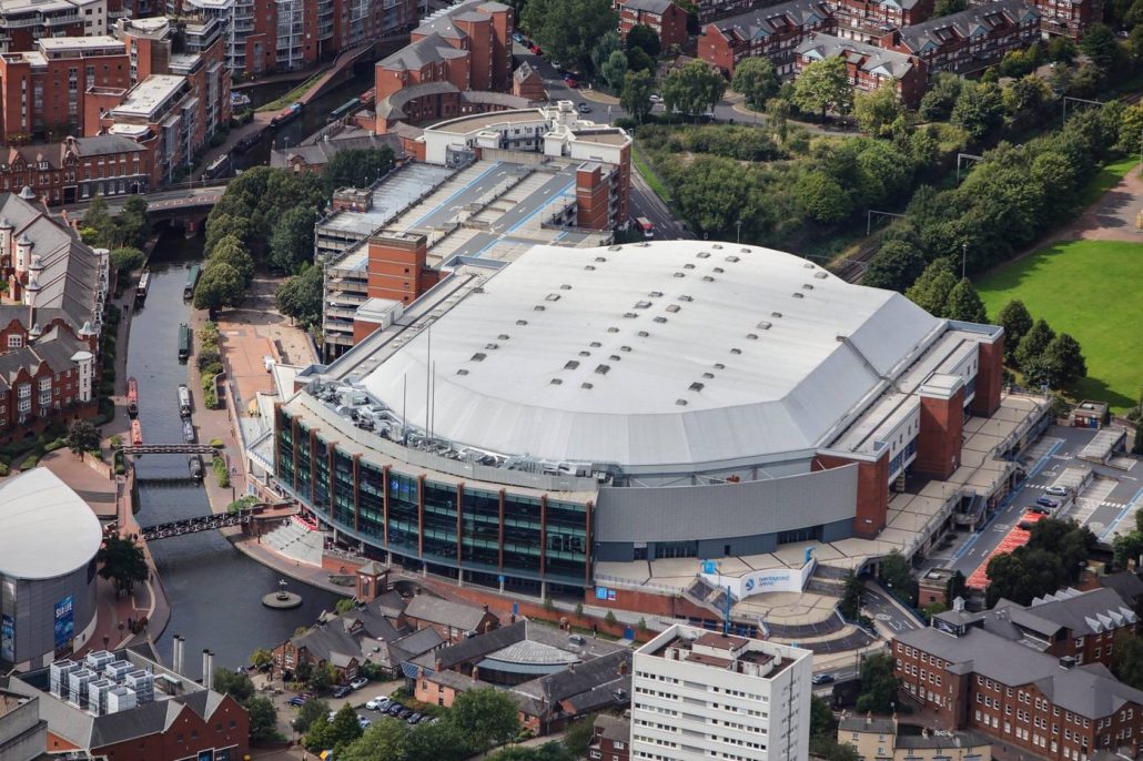
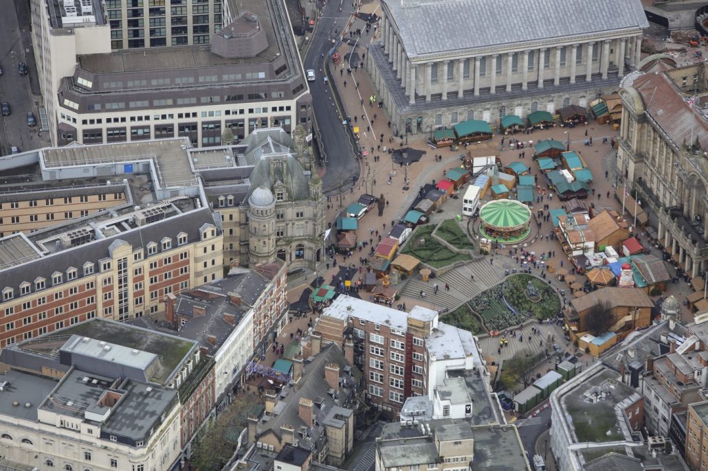
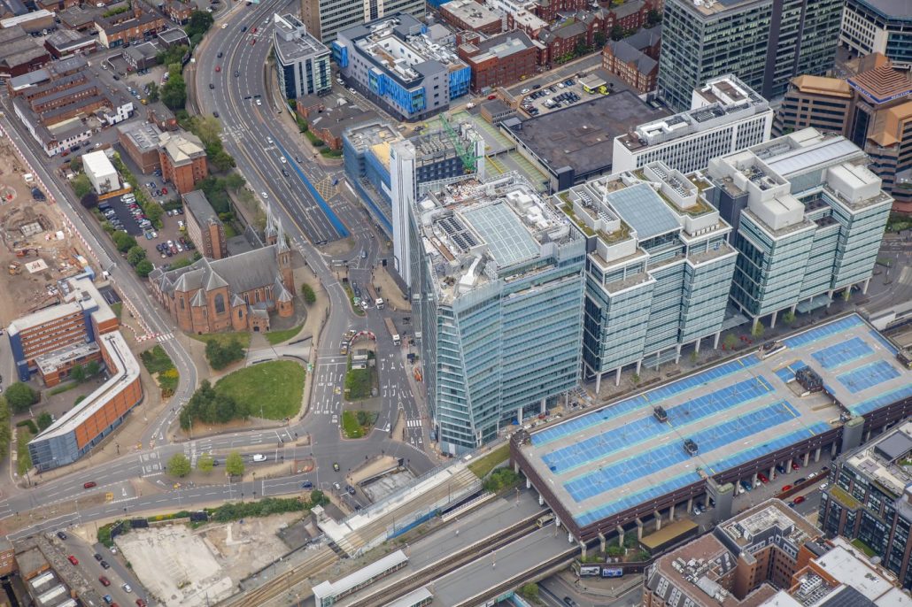
I’ve hired Commission Air for aerial photography over seven different sites in Birmingham, they have always provided great quality photos and in short timescales.
BHP Design
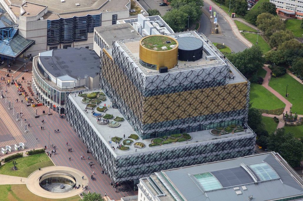
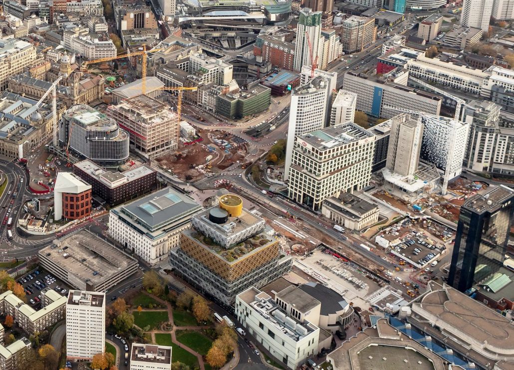
With a dedicated Birmingham flight schedule every month, and our 50 megapixel cameras plus the best quality lenses our aerial photographs deliver hair splitting detail, ideal for marketing and progress monitoring.
All of our aerial photographs are geo-referenced allowing you to pinpoint exactly from where in Birmingham the image was taken, great for client presentations and detailed condition surveying. Included in our standard package is full copyright to all images.
From our helicopter we will provide complete coverage of your site including detailed close-ups and panoramic surround shots for the full duration of your project. Helicopters allow us greater operational flexibility enabling us to fly further and faster to cover multiple sites in one day. Our highly experienced and creative team have taken millions of images for thousands of satisfied customers in Birmingham and Nationwide.
The cost of the service is only £449 +vat and will provide:
- A minimum of 30 high resolution photographs with 50 million pixels and GPS data.
- Close and wider panoramic images from all directions together with a vertical detailed plan shot.
- Delivery via Dropbox.
- Full and complete copyright.
- Monthly flights.
- Discounts on 6 or more sites or visits.


Aerial photography applications
- Websites, presentations, exhibition stands and other marketing material.
- Construction projects, at strategic intervals from initial planning through to completion.
- Management reporting and forward planning.
- Supporting disputes over issues such as boundaries and construction penalties.
Benefits of Birmingham Aerial Photography
- Providing a unique perspective particularly for marketing.
- Assisting with accurate conveying of information. Supporting management & progress reporting.
- Provides a permanent historic record, conveniently held in a digital format.
- Reducing site visits saving time and travel costs.
- Providing visual access to inaccessible areas, such as roof condition surveying.
- Commission Air’s aerial photographs contain embedded date/time/GPS data. This is invaluable in supporting decision making and providing accurate information particularly if evidence based information is required. e.g. Health & safety, penalty disputes.